Abu Buraqaa neighborhood
Advertisement number: 13
License number: 7200498094
Plot number: 4
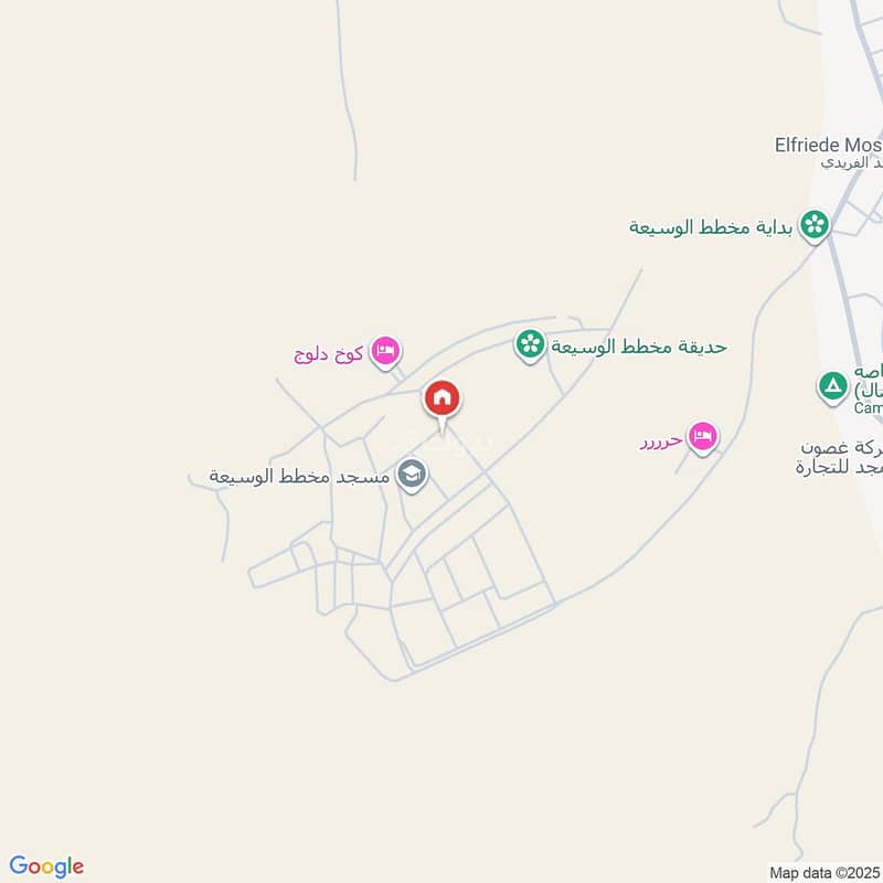
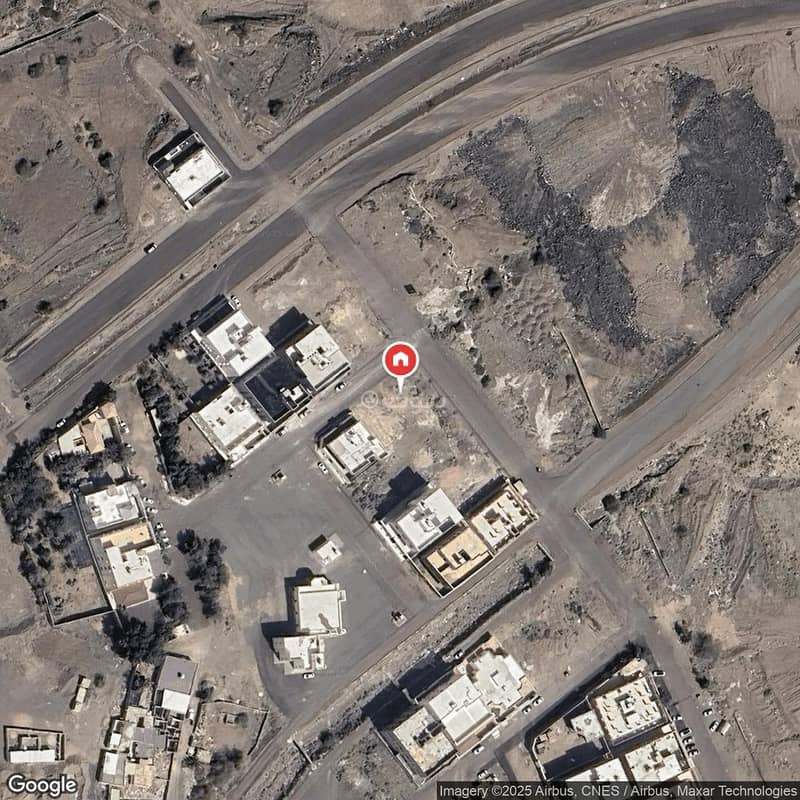
Plan number: 1 / A/ 1403 located in Abu Buraika neighborhood, called Bir Baroud in the city of Medina.
Area:
1305.4 square meters
Piece number: 4 Plan number: 1 / A / 1403
Land details:
North: 15m wide street from East to West 16m then the boundary 7.95m
South: Slope of Mount Ir from East to West 5.35m then the boundary 23.2m
East: Piece number 3 with a length of 53.10m
West: Piece number 5 with a length of 46.60m
Required: 1,566,480 net
Mobile number of the person responsible for the advertisement / Adel / +966569996744 A / Faisal 0568849840
Location https://maps. app. goo. gl/PZN9fA5nSQevhvms9
Property Information
- TypeResidential Land
- PurposeFor Sale
- Bayut IDBayut - 87789853
- Added on28 January 2026
Features / Amenities
Electricity
Water Supply
Sewerage
REGA Verified Information
- FAL License Number1200007348
- License Issue Date18 April 2025
- License Expiry Date16 April 2026
Ad Responsible Info
- Responsible Name-
- Responsible Number-
Location
- Regionمنطقة المدينة المنورة
- CityMadina
- DistrictJabal Ayr
- Street Nameابن البرهان الطاهري
- Postal Code42395
- Building No8672
- Additional No5271
- Latitude24.399707316770087
- Longitude39.57557176154028
Property Specs
- Advertisement TypeFor Sale
- Listing Usage-
- Listing TypeResidential Land
- Price1566480
- Area Size1305.4
- Number of Rooms-
Utilities
- ElectricityYes
- SewerageYes
Additional Information
- Listing Age-
- Street Width30
- Plan Number1 / ع / 1403
- Deed Number294366000292
- Listing Face-
- Borders and Lengths-
- Guarantees and Duration-
- ChannelsBulletin board, Social media platforms, Other
- Obligations on Listingلا يوجد
- Compliance with Saudi Building Code-
- Is Listing PawnedNo
- Is Listing ConstrainedNo
- Land Number4
- Notes-
Property Borders
- Nameشارع
- Descriptionعرض 15 م
- Lengthمن شرق لغرب 16 م ستة عشر متراً ثم تمام الحد 7.95 م سبعة أمتار وخمسة وتسعون سنتمتر
- Nameالقطعة
- Descriptionرقم 3
- Lengthثلاثة و خمسون متراً و عشرة سنتمتر
- Nameالقطعة
- Descriptionرقم 5
- Lengthستة و أربعون متراً و ستون سنتمتر
- Nameسفح جبل
- Descriptionعير
- Lengthمن شرق لغرب 5.35 م خمسة أمتار وخمسة وثلاثون سنتمتر ثم تمام الحد 23.20 م ثلاثة وعشرون متراً وعشرون سنتمتر
North
East
West
South
Loan Calculator
Location & Nearby
The location is fetched and verified by REGALocation Description as per Deed:قطعة الارض رقم 4 من المخطط رقم 1 / ع/ 1403 الواقع فى حى أبو بريقاء المسماه بئر برود بمدينة المدينة المنورة .

See location
Recommended for you
Beware of fraud, Transfer through official channels. Posting on behalf of others leads to legal liability.


