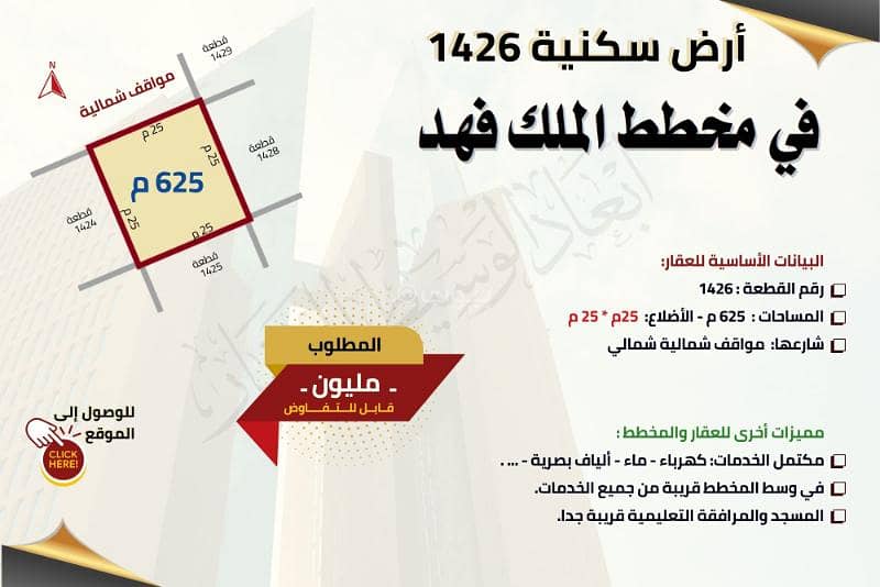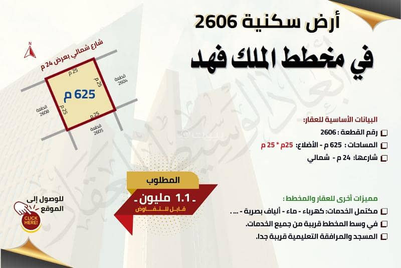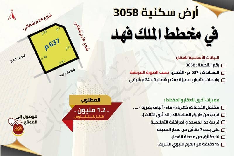


Residential land on two streets in King Fahd, in Medina
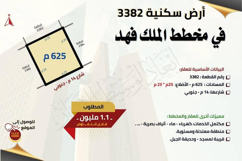
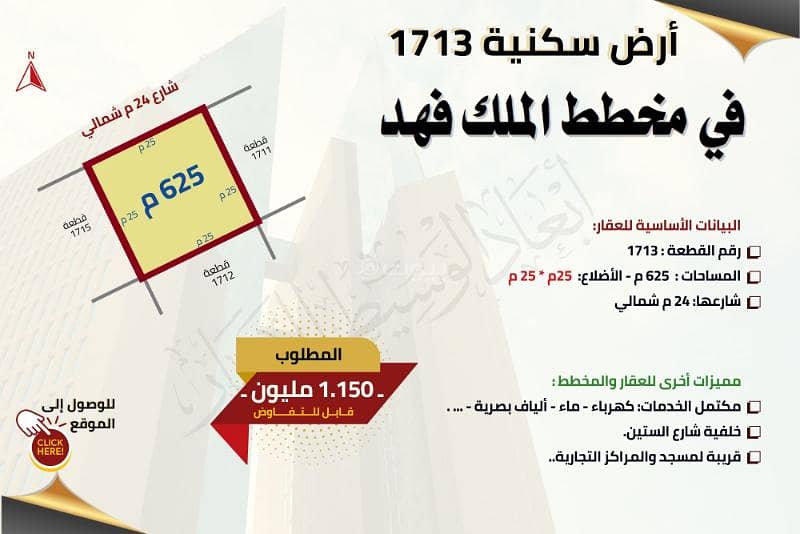
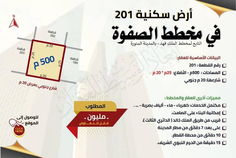
Basic property data:
Plot number: 3058
Areas: 637 m - Sides: according to the attached picture
Distinctive facades and streets: 24 m north + 24 m east
Other features of the property and the plan:
Fully serviced: Electricity - Water - Fiber optics - . . . .
Close to King Khalid Road (the third ring road).
Very close to the mosque and educational facilities.
Distance: 7 minutes from Medina Airport
10 minutes from the train station.
15 minutes from the Prophet's Mosque.
Property Information
- TypeResidential Land
- PurposeFor Sale
- Bayut IDBayut - 87664460
- Added on13 May 2025
Features / Amenities
Electricity
Water Supply
REGA Verified Information
- 1200018959FAL License Number
- 7200258605Advertising License Number
- 7 August 2024License Issue Date
- 5 August 2025License Expiry Date
Location
- Regionمنطقة المدينة المنورة
- CityMadina
- DistrictKing Fahd
- Street Nameخرشه بن الحارث المحاربي
- Postal Code42366
- Building No4917
- Additional No7484
- Latitude24.511566359621856
- Longitude39.70122649553768
Property Specs
- Advertisement TypeFor Sale
- Listing UsageResidential Land
- Listing TypeResidential Land
- Price1100872
- Area Size570.4
- Number of Rooms-
Utilities
- ElectricityYes
Additional Information
- Listing Age-
- Street Width20
- Plan Number662 / ت / 1414
- Deed Number240107024298
- Listing FaceNorthern
- Borders and Lengths-
- Guarantees and Duration-
- ChannelsLicensed platform, Bulletin board, Social media platforms
- Obligations on Listingلا يوجد
- Compliance with Saudi Building Code-
- Is Listing PawnedNo
- Is Listing ConstrainedNo
- Land Number407 / 1 / 2
- Notes-
Property Borders
- Nameشارع
- Descriptionوهب بن كيسان عرض 20م
- Lengthواحد و عشرون متر ثم 5.60م
- Nameقطعة
- Descriptionرقم 406
- Lengthثلاثة و عشرون متر
- Nameشارع
- Descriptionابوهمام الدلال عرض 14م
- Lengthتسعة عشر متر و ثلاثون سنتمتر
- Nameقطعة
- Descriptionرقم 405/1
- Lengthخمسة و عشرون متر
North
East
West
South
Loan Calculator
Location & Nearby
The location is fetched and verified by REGALocation Description as per Deed:قطعة الارض رقم 407 / 1/ 2 من المخطط رقم 662 / ت/ 1414 الواقع فى منطقة قناة حى الملك فهد بمدينة المدينة المنورة .
See location
This property is no longer available

Abaad AlWaseet Real Estate
Agent:Abaad AlWaseet Real Estate
Beware of fraud, Transfer through official channels. Posting on behalf of others leads to legal liability.
